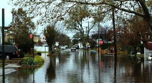
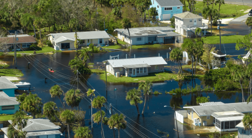
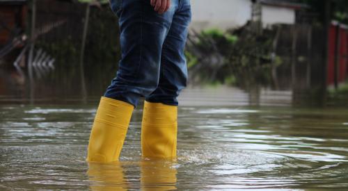
After a recent successful challenge of the scientific methodology used to redraw the coastal high-hazard zones, the Massachusetts congressional delegation is asking federal officials to put the brakes on new flood zone maps for the Bay State. Officials from the town of Rockport, Mass., persuaded FEMA officials to modify flood maps, arguing successfully that the elevations used to determine which properties were at risk of severe flooding were based on a Pacific Coast wave model that was not appropriate for the East Coast town. The town spent $24,000 on scientific studies to prove that the federal agency’s proposed flood maps were flawed.
Residential Products Online content is now on probuilder.com! Same great products coverage, now all in one place!
billboard
Mass. congressmen ask FEMA to slow flood zone map requirements
City officials spent $24,000 on successful challenge of methodology used in redrawing maps
PB Topical Ref
leaderboard2
Related Stories
In New York City, the new maps place 80% more homes and businesses in flood zones than the previous set of maps.
Stagnating energy demand, OSHA votes on enforcement of beryllium exposure rules, and comparing the value of the HERS Index and energy codes
NAHB Policy Briefing: Flood-resilience standards; townhouse market share data
Global warming's effect on river flooding, 'greenwashing', and new white paper arguing for a more collaborative approach from code officials
NAHB Policy Brief | The next phase of the National Flood Insurance Program is supposed to better reflect the actual risks to properties; builder confidence increased during April
OSHA suspends electronic injury reporting requirement, Florida requires new building elevation requirements, and the lack of buildable lots is driving up home prices
boombox2
boombox1
halfpage1
native1
catfish1