MORE IN CATEGORY
ADVERTISEMENT
Residential Products Online content is now on probuilder.com! Same great products coverage, now all in one place!

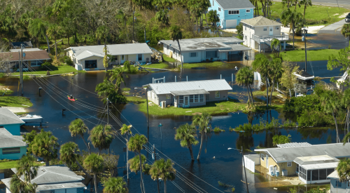
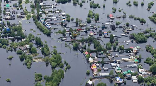
Proximity to the ocean is no longer the key factor in determining an area’s coastal flooding risk. The Federal Emergency Management Agency (FEMA) now takes 78 socioeconomic factors into account when analyzing the likelihood of a disaster and the potential damage it would cause, reports Scientific American. The county with the highest disaster risk is now Cowlitz County, Wash., 59 miles inland from the Pacific Ocean. Some socioeconomic factors analyzed include poverty rate, racial composition, church membership, and access to high-speed internet. All of these factors help FEMA determine which communities will suffer the worst, along with how quickly and thoroughly the community will recover.
FEMA’s National Risk Index, released last week after six years of development, marks the first time the federal government has taken such a sweeping view of disasters.
The index has the potential to alter how the nation prepares for climate change as President-elect Joe Biden emphasizes climate issues. It also could direct more attention and money to disadvantaged communities by considering “social vulnerability” factors such as the percentage of people who are minorities, recent immigrants or non-English speakers.