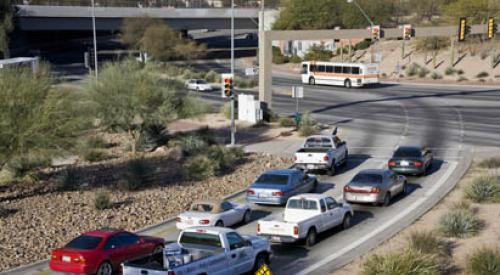
Every morning, thousands of commuters descend on major metro areas around the country like ants at a picnic as they head to work. Even if the urban revival has been overblown, there are still plenty of people who choose to live in cities to avoid this commute. However, whether it be by choice or due to the fact that living in cities is becoming more and more unaffordable for the majority, a huge portion of people travel 10, 20, 50, or even 100 miles to work in the city every day.
Now, as CityLab reports, thanks to a new visualization tool from Mark Evans, a Michigan-based data scientist, you can see how many people travel to and from the city for work on a daily basis, where they are coming from, and how far they travel.
Using animated gifs with colored dots that vary in size based on the number of commuters and color based on which counties they are commuting from, Evans created hypnotic visual representations that show commuters traveling to and from a city center. From a drop down menu on the website, you can go and select any state and county and watch the animation take place.
With land at such a premium in cities like Washington, D.C., New York, Los Angles, Boston, and Chicago, these commuter maps can be very useful tools. For example, when looking at a city like Washington, D.C., builders can see where the majority of people who commute to the city every day for work are coming from and focus on those areas as an alternative to actually building in the city. People will be more likely to think a commute is doable if a lot of people living around them are making the same commute each day. Not to mention having people in your neighborhood with a similar commute can lead to car pools and other strategies to lessen the load on everyone.
One of the more interesting things to note is how every big city has at least some commuters driving 50 to 100 miles every day. For example, there are individuals in Cook and DuPage counties in Illinois that travel to Milwaukee every day and vice versa.
These may be the outliers, but each and every city has at least a few dots that explode farther away than the rest before being sucked back to the epicenter each night.
To view the commuter patterns for your county, click the link below.


