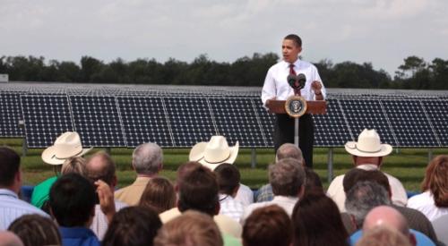
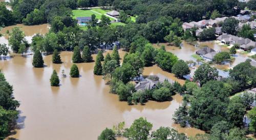
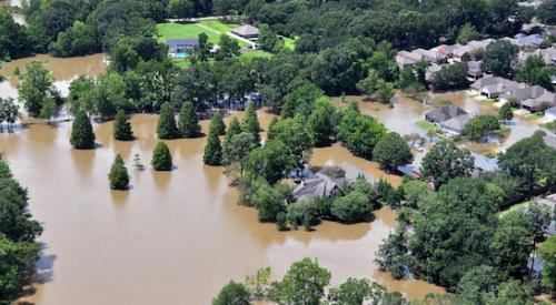
The federal government will begin graphically representing the danger of floods in its hurricane warning maps. Different colors will be used to show the anticipated depth of approaching flash floods. Severe flooding in the aftermath of Superstorm Sandy helped prompt the new mapping format.
PB Topical Ref